SpaceDeer
Reindeer husbandry
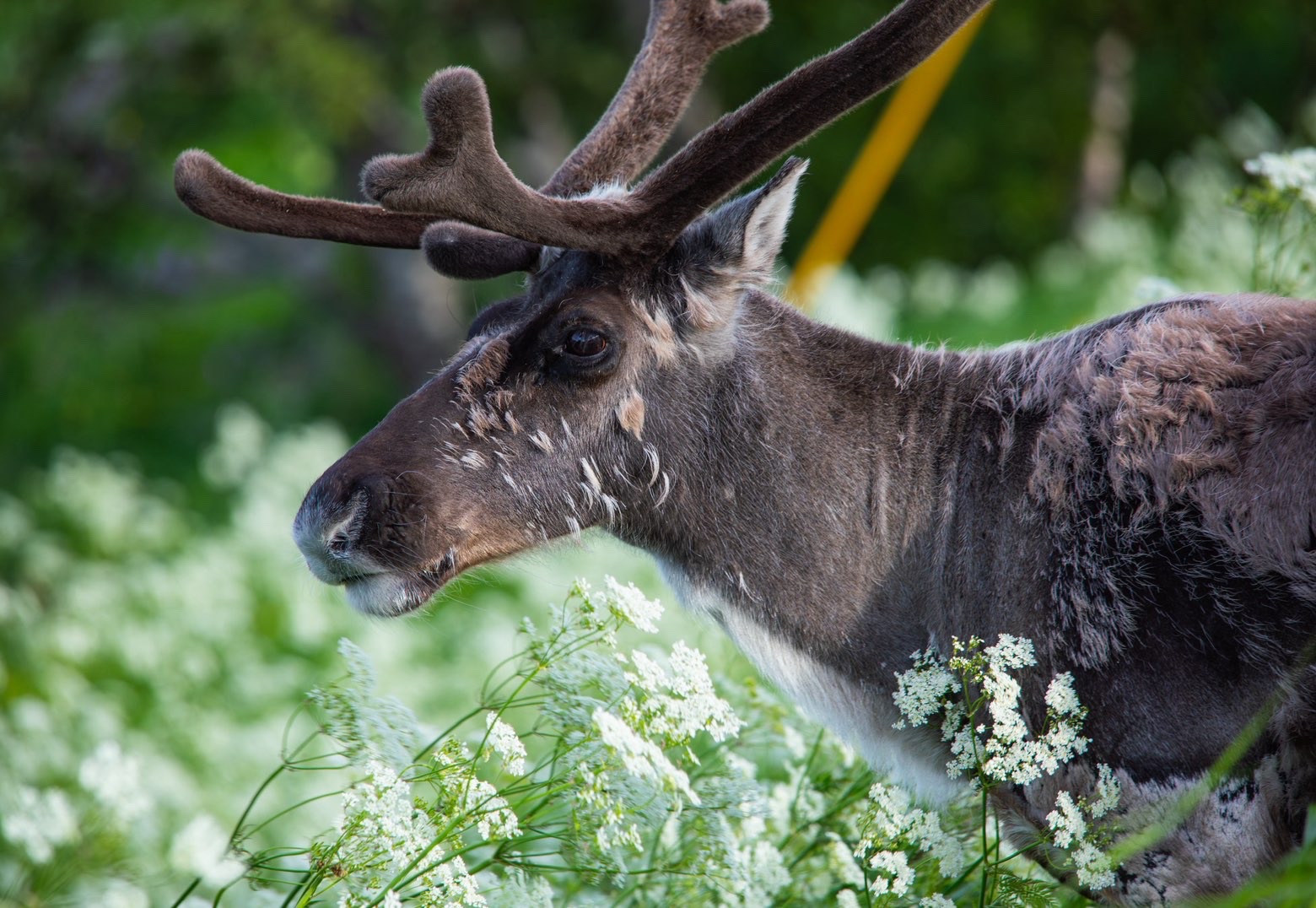
Reindeer cover ground. SpaceDeer maps the corridors a herd actually uses and projects two days ahead, so you know where to drive before you leave the yard.
Reindeer and sheep graze the same country, but they do not behave the same way. So we build two tools instead of one generic herd app.
Reindeer husbandry
Reindeer cover ground. SpaceDeer maps the corridors a herd actually uses and projects two days ahead, so you know where to drive before you leave the yard.
Sheep farming

Sheep spread out and stay put. SpaceSheep measures how hard each rangeland unit is being grazed and tells you which ones to move stock off.
What we do with a satellite pass, whichever animal you keep.
Unlike traditional GPS collars and bells that only cover a handful of animals, our platform provides comprehensive landscape intelligence for reindeer and sheep alike, without requiring physical infrastructure or additional hardware on every animal.
We combine historical migration and grazing patterns with real-time terrain data to anticipate where your reindeer or your flock will move next, saving you days of fuel and manual searching.
We turn raw satellite data into clarity. By processing Copernicus imagery and NDVI vegetation indices, we give you a precise, daily picture of grazing quality. Lichen beneath the winter crust for the reindeer, summer rangeland recovery for the sheep.
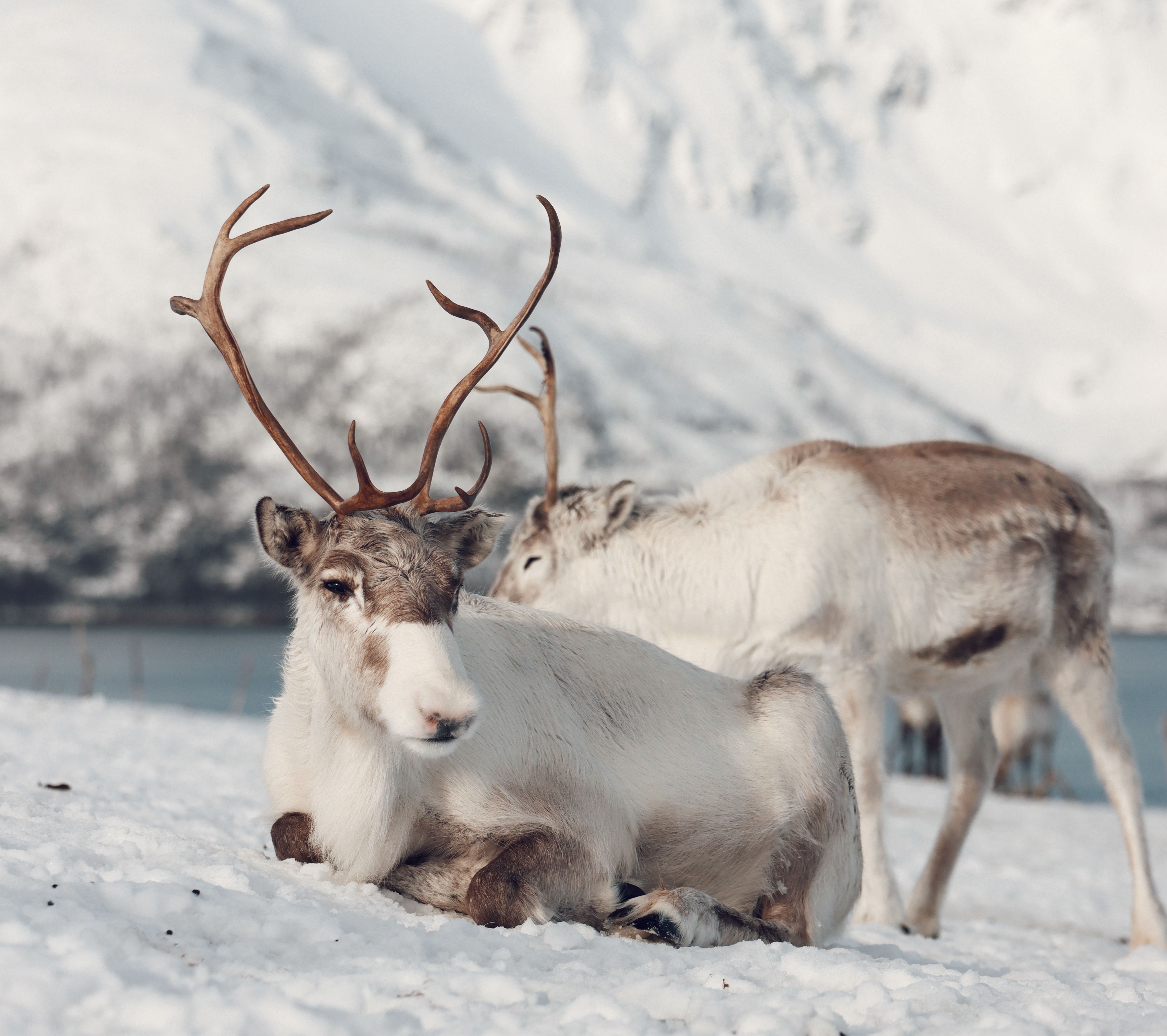
Managing herds across the Arctic tundra has always been a battle against time, extreme weather, and vast distances, whether you are following reindeer along a migration route or gathering sheep off open rangeland in September. We bridge the gap between aerospace engineering and traditional herd management by solving three core challenges:
1. Vast Distances: Stop relying solely on fuel-heavy snowmobile trips and manual field observations to locate your animals.
2. Blind Spots: Collars and bells only cover a few animals and tell you nothing about forage quality. We monitor the entire landscape, for every animal on it.
3. Climate Uncertainty: Adapt to changing snow conditions and unpredictable vegetation growth with real-time orbit data.
Backed by UiT The Arctic University of Norway, Norinnova, and Arctic Ignite. A multidisciplinary team spanning reindeer and sheep husbandry, scalable software engineering, and geospatial analytics.
CEO / Product Lead
Sámi entrepreneur from Senja with deep domain expertise in reindeer husbandry and open rangeland sheep farming. Leads our product vision, customer dialogue, and business development.
[email protected]
CTO / Software Engineer
Architect of the SpaceHerder cloud infrastructure. Responsible for backend systems, satellite data processing, and scalable platform architecture.
[email protected]
GIS & Data Engineer
Transforms complex Earth observation data into clear, actionable maps. She leads our geospatial analysis, ensuring our terrain and vegetation insights are highly accurate.
[email protected]

Grant & Financial Support
Direct grant support empowering our Northern research, orbital data analysis, and university-backed venture initiatives.


Incubator & Advisory
Northern Norway's primary tech transfer house and innovation incubator, providing continuous business development and mentorship.


Startup Accelerator
Specialized startup acceleration initiative by Norinnova backing young founders and early-stage commercial tech in the High North.
Tell us where your animals range and which season is hardest. We will show you the last twelve months of that ground read from orbit, and you can judge it against what you already know.